We have just released an important update for AirRater.
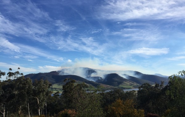
During this current bushfire and air quality crisis, AirRater will be available across all states of Australia.
AirRater draws air quality information from government monitors wherever these are available, but there aren’t any monitors in many parts of regional and remote Australia. In areas where there are no monitors, AirRater uses advanced modelling techniques to predict PM2.5 (smoke pollution) levels.
We have recently updated AirRater so that you know when the air quality information is coming from this model, rather than from a monitor.
This will change the way that the map looks in AirRater, as well as what is shown on the dials. If you are in an area where we are using model values, AirRater will only provide a broad indication of whether air quality is likely to be good or poor – rather than a precise number. This is because the model is not as precise or up to date as the information we get from the government monitors, even though it is the best estimate available.
Please visit our website for other useful information:
What can I do when it’s smoky outside?
We also encourage you to follow us on Facebook and Twitter to keep up to date with the latest information.
If you want to view the locations of air quality monitors, you can do this in AirRater by going to ‘Maps’, toggling to ‘Layers’ and selecting ‘Monitoring stations’.
We will release further updates of the app as we are able to integrate more suggestions from users. We appreciate your patience in responding to enquires and we are doing our best to update the app to best fit the current bushfire and air quality crisis. We are only funded to operate in Tasmania, ACT and NT, and this rapid increase in users has made it very busy over at AirRater HQ.
We wish all of our app users well during these challenging times, and thank you for your support and positive feedback.